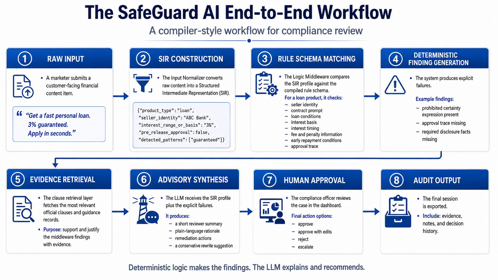
FINCPA Compliance Data Pipeline
Hackathon compliance AI prototype that turns financial law into structured rules, SIR fields, dashboards, and audit-ready review outputs.

A curated collection of my selected work across Vision AI, geospatial analysis, public data, NLP, dashboards, and research systems. These projects turn raw data, satellite imagery, text, and urban signals into models, maps, visual explanations, and decision-support tools.
Filter: All Dashboards Geospatial Text Analytics Public Data NLP Remote Sensing Data Pipelines
Hackathon compliance AI prototype that turns financial law into structured rules, SIR fields, dashboards, and audit-ready review outputs.
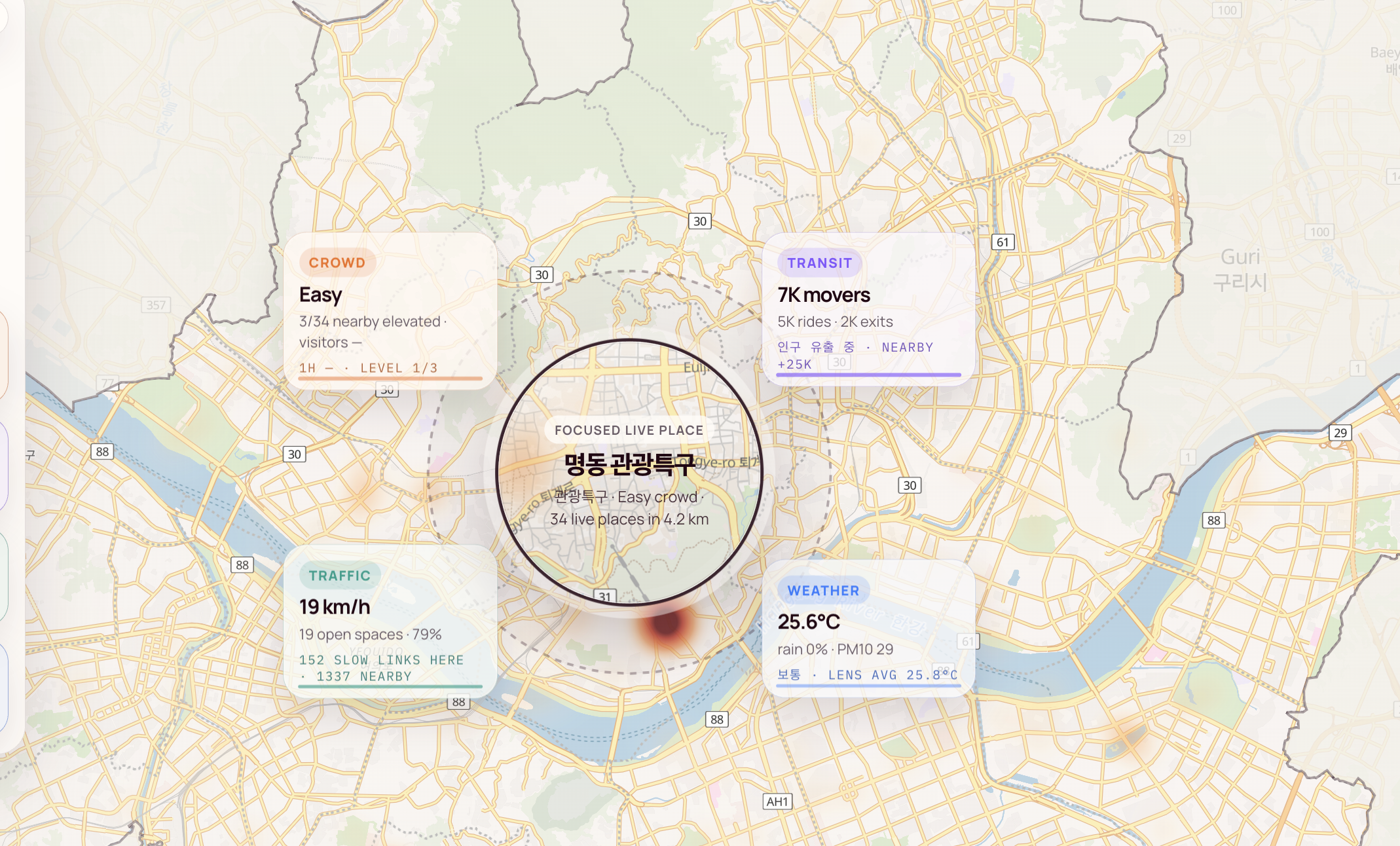
Real-time Seoul urban signal explorer combining crowd, transit, traffic, weather, and location data.
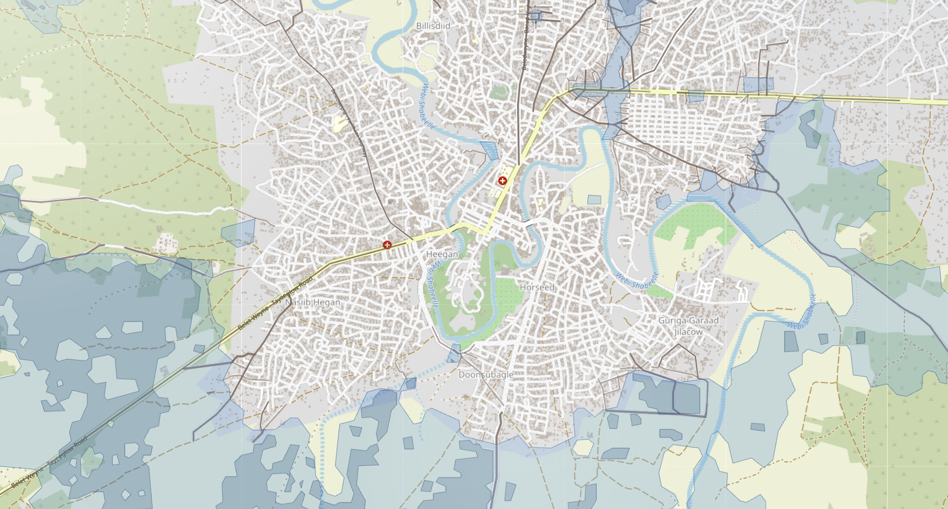
Flood impact analysis connecting satellite-derived flood masks with affected buildings, roads, and named places.

Text analytics story exploring tourist-facing Korean food discussions using preprocessing, word clouds, and topic modeling.

Geospatial mapping project showing Seoul building-age patterns using public approval and geometry data.
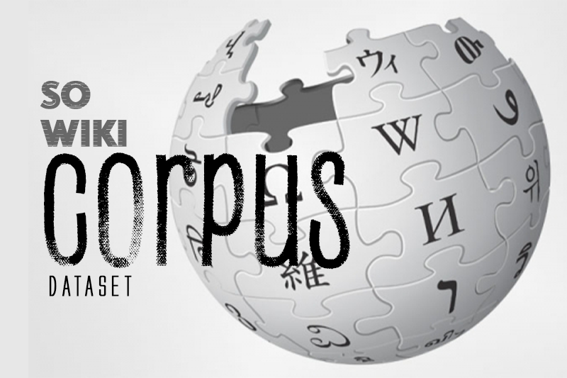
Low-resource NLP dataset preparation project built from cleaned Somali Wikipedia articles and structured metadata.

MapLibre dashboard rendering Seoul as stacked building-age layers with era focus, hover inspection, and vertical spread controls.